Parish Representative:
John P. Bolton
Introduction
This social history records changes to life in the parish of Humbie, during the period 1945-2000, more specifically changes in the period since the publication of the Third Statistical Account for East Lothian in 1953 (hereafter referred to as the ‘1953 account’). Although it is intended to form an update of the information in that account, it does not follow the same format, and is written not from the perspective of a minister of the church, but from that of a retired civil engineer, a Humbie resident from 1970. The Reverend Bain’s contribution to the 1953 account, together with East Lothian County Council’s 1953 East Lothian Survey: The Hillside Area (the ‘1953 survey’), has been used throughout to provide information relating to the state of the parish in the early 1950s. Other information has been obtained from a number of published sources (see references), in particular local authority studies, and histories produced by the the Humbie WRI in 1966 and 1989, and from discussions with present and former members of the community. Non-factual statements do not necessarily reflect the views of all.
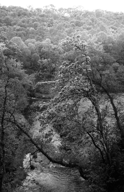
Humbie Water from Saltoun viaduct
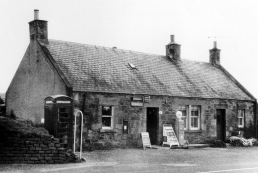
The parish is situated in the extreme south-west corner of East Lothian, bordering onto Midlothian to the west, and the Scottish Borders to the south. It covers some 3448 ha (8520 acres, having ‘lost’ about 150ha at Whitburgh which was transferred to Midlothian in 1987. The village of Humbie is now identified as the area, which, until the 1960s, was signposted as Upper Keith (after the farm of that name). It contains the post office and shop, the school and the village hall; but not the church, or Humbie House!
Humbie is situated on the former A6137 road from the A68 at Soutra to Haddington. This road carries a certain amount of through traffic into East Lothian. The road has a number of sharp bends both within and to the west of the parish and is narrow in places, which makes it unsuitable for modern heavy traffic. In the early 1970s the road through ‘the village’ was realigned to take it away from the school, and street lighting was installed. In the 1990s the road was downgraded to B road status (B6368) but this did not perceptibly changed the amount of traffic passing through the village. A second B road northwards towards Ormiston and Tranent (B6371) joins at an awkward junction immediately to the east of the ‘village’, and at the west of the parish a B road links Humbie to Fala in Midlothian (B6457).